Rock Lititz Floodplain Restoration
Parts of the Chesapeake Bay watershed contain a high percentage of impervious cover – paved or other hard surfaces such as roofs and roadways that prevent rain water from being absorbed into the ground. Instead, water runs along these surfaces, collecting trash and substances such as motor oil, lawn fertilizers, and pesticides. This polluted stormwater flows into streams and rivers, where it threatens aquatic ecosystems and public health.
Effective stormwater management, on the other hand, creates safe paths for polluted runoff to be captured and filtered through the ground before it reaches waterways. This helps keep the environment clean and our communities healthy!

Project location: Lititz, PA
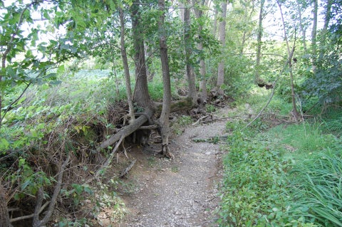
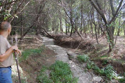
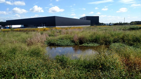
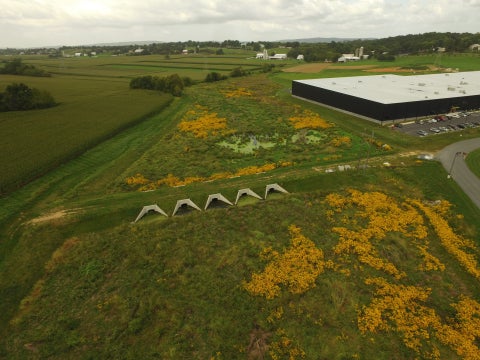
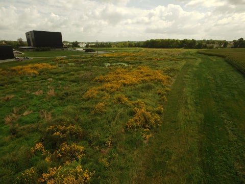
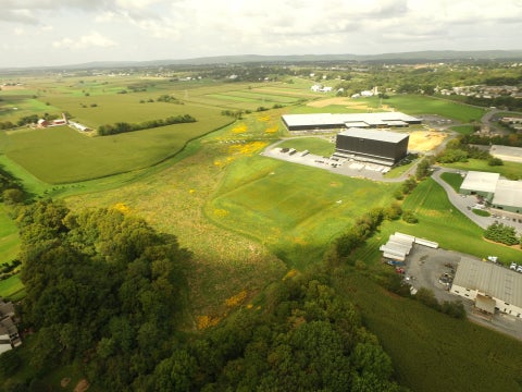
Problem: The proposed site for the Rock Lititz campus – a 96-acre farm located in scenic Lancaster County, Pennsylvania – was plagued with frequent flooding. The Santo Domingo Creek, a tributary to Lititz Run that flowed through the property, had become severely impaired due to historical land use. The stream channel had been re-routed to accommodate farming operations, and the deposition of legacy sediment on the valley floor smothered the aquifer and increased flooding downstream. Years of streambank erosion and streambed degradation allowed this polluted, nutrient-rich sediment to travel downstream and negatively impact local water quality.
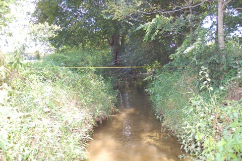
Solution: Rock Lititz Properties contracted with LandStudies, Inc. to implement a 17-acre floodplain restoration plan. The headwaters of the Santo Domingo Creek were restored by removing legacy sediment from the valley bottom. This increased the overall floodwater storage potential of the area, reducing flooding and the need for traditional stormwater basins on developable land. The floodplain restoration also allowed for significant groundwater recharge potential in a Critical Aquifer Recharge Area (CARA). Streambank stabilization reduced erosion, and the restored floodplain, with its diversity of native vegetation, now promotes infiltration, reduces downstream flooding, and improves local water quality.
Monitoring: Photo documentation, visual channel inspection, and visual riparian vegetation will be performed annually for the first five years after construction. The stream channel is inspected for evidence of erosion and cutting, and the floodplain assessed for sediment or gravel deposition. During the growing season, vegetation in the riparian corridor is monitored by looking for aerial cover, plant survival, and the presence of invasive species. Following the initial five-year monitoring period, the restoration area will be visually inspected annually and after large storm events.
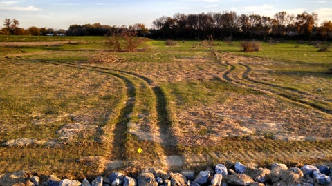
Economic benefits: The floodplain restoration freed nine acres of land that would have otherwise been used for stormwater detention basins for development. The recovered land is estimated to be worth $3.1 million.
Scale: 3,136 linear feet of stream restored; 17 acres of native ecosystem restoration and improved bio-diversity; 996,117 cubic feet of recharge volume
Pollutants Removed: 1,007 lbs/yr nitrogen; 155 lbs/yr phosphorus; 124 tons/yr sediment
Cost: $771,100.55 (Design & Permitting: $168,100.55; Construction: $603,000)
Funding Sources: Privately funded by the developer, Rock Lititz Properties
Contact: Kelly Gutshall, RLA; President, Landscape Architecture, LandStudies, Inc.; kelly@landstudies.com; 717.627.4440; www.LandStudies.com